The Golden Circle, Iceland

On Saturday, we woke up on the early side of the day, well before sunrise to start our car trip around the Golden Circle. Without stops, the circle takes a little more than 3 hours to drive, but you have to stop to appreciate the amazing sights along the way!
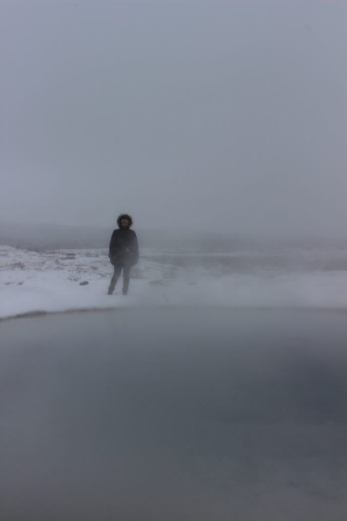
We started our day at the Kerið crater lake, which of course is frozen this time of year. We arrived slightly before sunrise, but the wind was down and the snow had paused, so we enjoyed the hike down into the crater from the top.

Kerið is a volcanic crater, formed by the collapse of a volcano following an eruption around 3,000 years ago. The water inside rises and falls in accordance to the water table, so it’s a good indicator of the conditions.
We then headed to a nearby restaurant for brunch, with beautiful views which were hard to capture as it started snowing right when we sat down! We enjoyed eggs and pancakes from inside the warm restaurant.

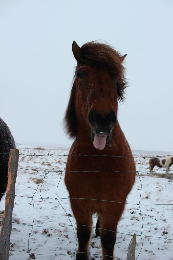
From there, we headed north to our next two stops, Gullfoss and Geysir. On the way, we stopped along the roadside to say hi to some friendly horses. Larus, Harpa’s boyfriend, later told us these horses are very spoiled by tourists, but it also makes them very friendly. They even took a little nibble of my jacket in search of a snack!


Our next stop was Gullfoss, a massive waterfall with numerous levels and a total drop of 32 meters.

Next, we headed to Geysir, which is actually a field of thermal pools and geysers, including “Geysir,” a single geyser which all others in the world derive their name. The activity of the geysers is greatly effected by volcanic and earthquake activity in the area.

THE Geysir hasn’t erupted regularly since 2003, but nearby Strokkur still erupts every 6–10 minutes.


After Geysir, we stopped at Friðheimar Farm for a late lunch. At the farm, they keep horses and grow tomatoes in greenhouses year round. They’re able to do this because they warm the greenhouses using a geothermal spring, and water the plants with glacier water. The owner, who stopped by our table to give us the inside scoop, said that with all of these clean resources, the tomatoes are extra tasty.

They serve everything from tomato soup to a green tomato and apple pie, and of course bloody marys! We enjoyed the soup and homemade bread, an brought some tomato chutney home to remember the trip.

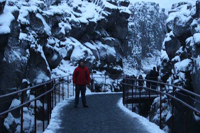
Our final stop of the day was Þingvellir national park, which has a number of interesting parts to it. First, there is a path through a small separation in the rocks, which is the point at which the North American and European tectonic plates are separating by an incredible 2.5 centimeters a year. When I was there in 2010, the walkway extended just partially up the hill, but since then a new fissure had formed in the rocks and was cleared, doubling the length of the path. Geology in action!
Þingvellir is also home to the Logberg, or law rock, which was the assembly place for the Alþingi, the nordic parliamentary government which was set up by the first settlers in the late 9th century and was the governing body for Iceland from 930 until 1271.

Light was fading fast. After all, sunset was around 4 pm. So, we headed back to Reykjavik to discover our re-booked Northern Lights tour from the night before was cancelled, and met up with Harpa and Larus for dinner at Sjávargrillið and a night out on the town trying some Icelandic craft beer- and stopping for Ice Cream!